A public map for anyone to add content to. Added markers will be cleared daily.
view the full articleImage Markers
Demonstration of markers that display images.
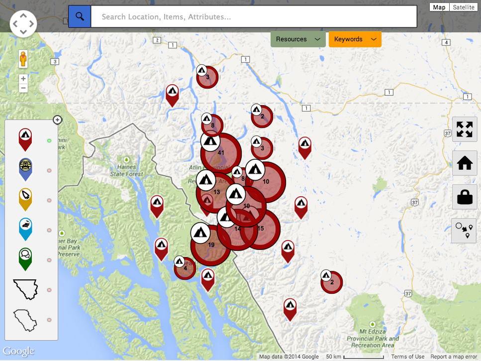
view the full articleMarker Cluster
Image marker to demonstrate a cluster.
view the full articleLittle Diomede
![Photo components/com_geolive/users_files/user_files_986/Uploads/Ewk_[G]_[ImAgE]_3Ry_rLZ.jpg?thumb=%3E72x%3E72](/components/com_geolive/users_files/user_files_986/Uploads/Ewk_[G]_[ImAgE]_3Ry_rLZ.jpg?thumb=%3E72x%3E72)
Walrus Skin Boats used for hunting.
view the full articleMarker Cluster
Image marker to demonstrate cluster.
view the full articleImage Marker
![Photo components/com_geolive/users_files/user_files_707/Uploads/SHp_RI9_[ImAgE]_6Xe_[G].jpeg?thumb=%3E72x%3E72](/components/com_geolive/users_files/user_files_707/Uploads/SHp_RI9_[ImAgE]_6Xe_[G].jpeg?thumb=%3E72x%3E72)
This is a sample marker that displays an image.
view the full articleImage Marker
![Photo components/com_geolive/users_files/user_files_707/Uploads/aFZ_52r_3eL_[G]_[ImAgE].jpeg?thumb=%3E72x%3E72](/components/com_geolive/users_files/user_files_707/Uploads/aFZ_52r_3eL_[G]_[ImAgE].jpeg?thumb=%3E72x%3E72)
This a sample marker that displays an image.
view the full articleMarker Cluster
Image marker to demonstrate a marker cluster
view the full articleBCIT
![Photo components/com_geolive/users_files/user_files_954/Uploads/Vu_MR_[ImAgE]_[G]_5CH.jpg?thumb=%3E72x%3E72](/components/com_geolive/users_files/user_files_954/Uploads/Vu_MR_[ImAgE]_[G]_5CH.jpg?thumb=%3E72x%3E72)
Bike racks in from the city cyclery
![Photo components/com_geolive/users_files/user_files_963/Uploads/gBL_[ImAgE]_1iR_Qez_[G].jpg?thumb=%3E72x%3E72](/components/com_geolive/users_files/user_files_963/Uploads/gBL_[ImAgE]_1iR_Qez_[G].jpg?thumb=%3E72x%3E72)
Place
![Photo components/com_geolive/users_files/user_files_974/Uploads/[ImAgE]_67n_lpF_[G]_3pe.png?thumb=%3E72x%3E72](/components/com_geolive/users_files/user_files_974/Uploads/[ImAgE]_67n_lpF_[G]_3pe.png?thumb=%3E72x%3E72)
![Photo components/com_geolive/users_files/user_files_974/Uploads/zy_[G]_pKa_[ImAgE]_lw7.png?thumb=%3E72x%3E72](/components/com_geolive/users_files/user_files_974/Uploads/zy_[G]_pKa_[ImAgE]_lw7.png?thumb=%3E72x%3E72)
PlacePLacePLAcePLACePLACE
view the full articlecool
![Photo components/com_geolive/users_files/user_files_997/Uploads/Byg_[G]_cmS_0bx_[ImAgE].png?thumb=%3E72x%3E72](/components/com_geolive/users_files/user_files_997/Uploads/Byg_[G]_cmS_0bx_[ImAgE].png?thumb=%3E72x%3E72)
meeting
![Photo components/com_geolive/users_files/user_files_995/Uploads/atg_[G]_[ImAgE]_6Gh_brV.png?thumb=%3E72x%3E72](/components/com_geolive/users_files/user_files_995/Uploads/atg_[G]_[ImAgE]_6Gh_brV.png?thumb=%3E72x%3E72)
hello
![Photo components/com_geolive/users_files/user_files_997/Uploads/KCU_zvy_g1s_[ImAgE]_[G].png?thumb=%3E72x%3E72](/components/com_geolive/users_files/user_files_997/Uploads/KCU_zvy_g1s_[ImAgE]_[G].png?thumb=%3E72x%3E72)
one
![Photo components/com_geolive/users_files/user_files_997/Uploads/jmF_GdQ_0w3_[G]_[ImAgE].png?thumb=%3E72x%3E72](/components/com_geolive/users_files/user_files_997/Uploads/jmF_GdQ_0w3_[G]_[ImAgE].png?thumb=%3E72x%3E72)
detail
![Photo components/com_geolive/users_files/user_files_997/Uploads/[G]_opy_[ImAgE]_E9L_JaC.png?thumb=%3E72x%3E72](/components/com_geolive/users_files/user_files_997/Uploads/[G]_opy_[ImAgE]_E9L_JaC.png?thumb=%3E72x%3E72)
a
![Photo components/com_geolive/users_files/user_files_997/Uploads/sc2_[G]_abu_GPo_[ImAgE].png?thumb=%3E72x%3E72](/components/com_geolive/users_files/user_files_997/Uploads/sc2_[G]_abu_GPo_[ImAgE].png?thumb=%3E72x%3E72)
a
![Photo components/com_geolive/users_files/user_files_997/Uploads/oml_[ImAgE]_U7Y_[G]_uzx.png?thumb=%3E72x%3E72](/components/com_geolive/users_files/user_files_997/Uploads/oml_[ImAgE]_U7Y_[G]_uzx.png?thumb=%3E72x%3E72)
Slave Lake
![Photo components/com_geolive/users_files/user_files_706/Uploads/uU2_wiY_fer_[ImAgE]_[G].jpeg?thumb=%3E72x%3E72](/components/com_geolive/users_files/user_files_706/Uploads/uU2_wiY_fer_[ImAgE]_[G].jpeg?thumb=%3E72x%3E72)
This is the location of the devastating 2011 wildfires. http://www.cbc.ca/news/canada/edmonton/slave-lake-fire-not-stoppable-concludes-review-1.1177038
view the full articleTeatro da Paz (Peace Theater)
Inaugurado em 15 de fevereiro de 1878, esta localizado na cidade de Belém (PA), Brasil.
view the full articleTaku River
this is the river
view the full articleVideo Markers
Demonstration of markers that display video
view the full articleAdding A Placemarker: Search & Drop
http://youtu.be/ziyu4u0NJkk
view the full article


